
Faýl:BlankMapTurkeyProvinces.png
Bu synlawyň ölçegi: 800 × 391 piksel. Other resolutions: 320 × 156 piksel | 640 × 313 piksel | 1 024 × 500 piksel.
Original faýl (1 024 × 500 piksel, faýlyň ölçegi: 35 KB, MIME tipli: image/png)
Gysgaça düşündiriş
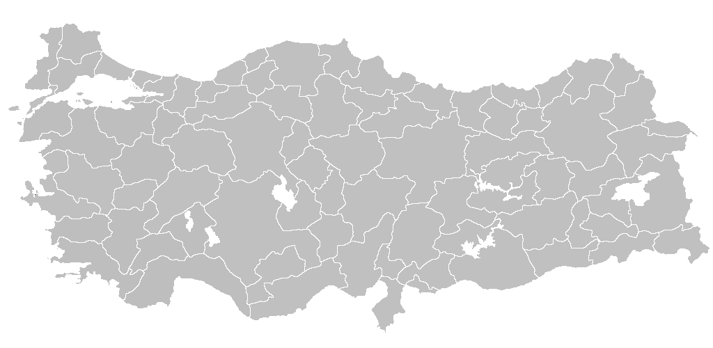
| Düşündiriş | Blank map of Republic of Turkey's provinces. The regions are carefully separated on per pixel basis and ready for filling in with a paint tool. |
| Sene | |
| Çeşme | Self drawn from scratch, based on data from official Turkish motorway network map |
| Awtor | Atilim Gunes Baydin |
| Rugsat (Bu faýly täzeden ulanmaklyk) |
I grant permission for anyone to use this under the terms of GFDL license, see below |
| Beýleki wersiýalar | Derivative works of this file: Secim2009Turkey.png and File:Ali Galip landing map.png |
Lisenzirleme
I, the copyright holder of this work, hereby publish it under the following licenses:

|
Permission is granted to copy, distribute and/or modify this document under the terms of the GNU Free Documentation License, Version 1.2 or any later version published by the Free Software Foundation; with no Invariant Sections, no Front-Cover Texts, and no Back-Cover Texts. A copy of the license is included in the section entitled GNU Free Documentation License. |
| Bu faýl Creative Commons Attribution-Share Alike 3.0 Unported lisenziýasyna laýyklykda lisenzirlenendir. | ||
| ||
| This licensing tag was added to this file as part of the GFDL licensing update. |
Islän lisenziýaňyzy saýlap bilersiňiz.

|
File:Turkey provinces blank gray.svg is a vector version of this file. It should be used in place of this PNG file when not inferior.
File:BlankMapTurkeyProvinces.png → File:Turkey provinces blank gray.svg
For more information, see Help:SVG. |
 |
Faýlyň taryhy
Faýlyň geçmişini görmek üçin Sene/Wagt bölümündäki senelere tyklaň.
| Sene/Wagt | Miniatýura | Ölçegler | Ulanyjy | Teswir | |
|---|---|---|---|---|---|
| häzirki | 20:40, 25 aprel 2013 | | 1 024 × 500 (35 KB) | Maurice07 | Added Bozcaada and some islands on Marmara Sea |
| 22:14, 18 fewral 2007 |  | 1 024 × 500 (23 KB) | AtilimGunesBaydin | Removed Samothraki, which was accidentally included. I'm sorry for the mistake. | |
| 16:46, 22 dekabr 2006 |  | 1 024 × 500 (23 KB) | AtilimGunesBaydin | Slight resize. | |
| 21:51, 21 dekabr 2006 |  | 1 024 × 499 (23 KB) | AtilimGunesBaydin | {{Information |Description=Blank map of Republic of Turkey's provinces |Source=Drawn from scratch on based on data from [http://www.kgm.gov.tr/images/trkh-yeni1.jpg official Turkish motorway network map] |Date=December 21, 2006 |Author=[[:e |
Faýlyň ulanylyşy
Bu faýla çykgydy bar bolan sahypa:
- Adana (il)
- Adyýaman
- Afýonkarahisar
- Agry
- Aksaraý
- Amasýa
- Ankara welaýaty
- Antalýa (il)
- Ardahan (il)
- Artwin (il)
- Aýdyn (il)
- Balykesir (il)
- Bartyn (il)
- Batman (il)
- Baýburt (il)
- Bilejik (il)
- Bingöl (il)
- Bitlis (il)
- Bolu (il)
- Burdur (il)
- Bursa (il)
- Denizli (il)
- Diýarbakyr (il)
- Düzje (il)
- Edirne (il)
- Elazyg (il)
- Erzinjan (il)
- Erzurum (il)
- Eskişehir (il)
- Gaziantep (il)
- Giresun (il)
- Gümüşhane (il)
- Hakkari (il)
- Hataý (il)
- Izmir (il)
- Kahramanmaraş (il)
- Karabük (il)
- Karaman (il)
- Kars (il)
- Kastamonu (il)
- Kaýseri
- Kilis (il)
- Kojaeli (il)
- Konýa (il)
- Kyrklareli (il)
- Kyrykkale (il)
- Kyrşehir (il)
- Kütahýa (il)
- Malatýa (il)
- Manisa
- Mardin (il)
- Mersin (il)
- Mugla (il)
- Muş (il)
- Newşehir (il)
- Nigde (il)
- Ordu (il)
- Osmaniýe (il)
- Rize (il)
- Sakarýa
- Samsun welaýaty
- Siirt (il)
- Sinop (il)
- Siwas (welaýat)
- Tekirdag
- Tokat (il)
- Trabzon
- Tunjeli (il)
- Uşak (il)
- Wan (il)
- Ygdyr (il)
- Ysparta
- Zonguldak (il)
- Çanakkale (il)
- Çankyry (il)
- Çorum
- Çorum (il)
- Ýalowa (il)
- Ýozgat (il)
- Şanlyurfa
- Şyrnak (il)
- Şablon:Türkiýäniň welaýatlary
Global faýl ulanyşy
Bu faýl aşakdaky beýleki wikiler tarapyndan ulanylýar:
- en.wikipedia.org sahypasynda ulanyş
- List of largest cities and towns in Turkey
- Provinces of Turkey
- Portal:Turkey
- Government of Turkey
- Portal:Turkey/Provinces
- Template:Turkey Labelled Map
- Administrative divisions of Turkey
- Turkey
- Talk:Ethnic groups in Europe/Archive 2
- Turkish dialects
- User:Underlying lk/sandbox2
- User talk:Vsmith/Archive27
- hi.wikipedia.org sahypasynda ulanyş
- hr.wikipedia.org sahypasynda ulanyş
- hu.wiktionary.org sahypasynda ulanyş
- hy.wikipedia.org sahypasynda ulanyş
- id.wikipedia.org sahypasynda ulanyş
- Turki
- Provinsi Adana
- Templat:Turki
- Provinsi Adıyaman
- Provinsi Afyonkarahisar
- Provinsi Ağrı
- Provinsi Aksaray
- Provinsi Amasya
- Provinsi Ankara
- Provinsi Konya
- Provinsi Antalya
- Provinsi Ardahan
- Provinsi Artvin
- Provinsi Aydın
- Provinsi Balıkesir
- Provinsi Bartın
- Provinsi Batman
- Provinsi Zonguldak
- Provinsi Yozgat
- Provinsi Yalova
- Provinsi Bayburt
- Provinsi Bilecik
Bu faýlyň global ulanyşyny görkez.