
Faýl:LocationOceans.png
Bu synlawyň ölçegi: 800 × 407 piksel. Other resolutions: 320 × 163 piksel | 640 × 326 piksel | 1 024 × 521 piksel | 1 280 × 651 piksel | 2 759 × 1 404 piksel.
Original faýl (2 759 × 1 404 piksel, faýlyň ölçegi: 55 KB, MIME tipli: image/png)

|
This locator map image could be re-created using vector graphics as an SVG file. This has several advantages; see Commons:Media for cleanup for more information. If an SVG form of this image is available, please upload it and afterwards replace this template with
{{vector version available|new image name}}.
It is recommended to name the SVG file “LocationOceans.svg”—then the template Vector version available (or Vva) does not need the new image name parameter. |
Gysgaça düşündiriş
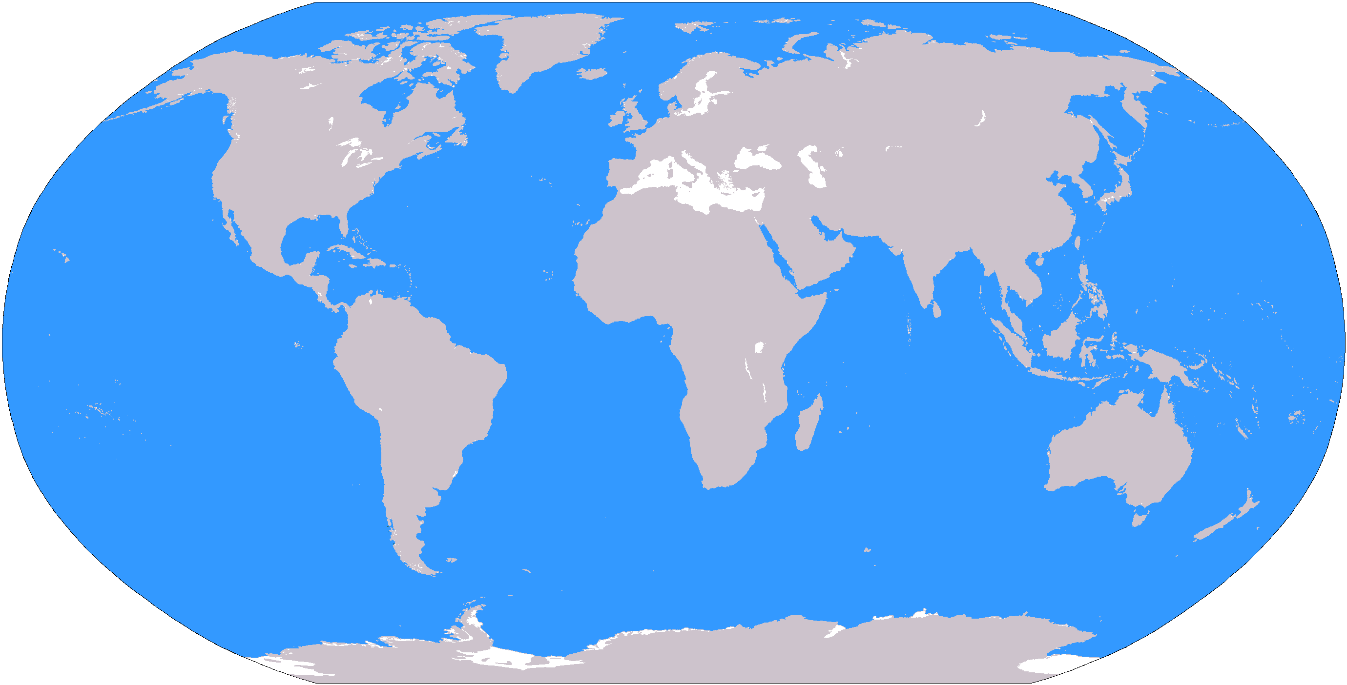
The large plain-grey Image:LocationWorld.png map modified to show oceanic areas in blue.
Lisenzirleme
This image is in the public domain because it contains materials that originally came from the United States Central Intelligence Agency's World Factbook.
|
 |
Faýlyň taryhy
Faýlyň geçmişini görmek üçin Sene/Wagt bölümündäki senelere tyklaň.
| Sene/Wagt | Miniatýura | Ölçegler | Ulanyjy | Teswir | |
|---|---|---|---|---|---|
| häzirki | 19:26, 8 mart 2006 | | 2 759 × 1 404 (55 KB) | David Kernow~commonswiki | The large plain-grey Image:LocationWorld.png map modified to show oceanic areas in blue. |
Faýlyň ulanylyşy
Bu faýla çykgydy bar bolan sahypa:
- Alynky Aziýa
- Antarktika
- Arktika
- Atlantik okean
- Awstraliýa (kontinent)
- Demirgazyk Afrika
- Demirgazyk Amerika
- Demirgazyk Buzly okean
- Demirgazyk Ýewropa
- Günbatar Afrika
- Günbatar Ýewropa
- Gündogar Afrika
- Gündogar Aziýa
- Gündogar Ýewropa
- Günorta-Gündogar Aziýa
- Günorta Afrika
- Günorta Amerika
- Günorta Aziýa
- Günorta okean
- Günorta Ýewropa
- Hindi okeany
- Melaneziýa
- Merkezi Afrika
- Merkezi Aziýa
- Merkezi Ýewropa
- Mikroneziýa
- Orta Gündogar
- Polineziýa
- Täze Zelandiýa
- Uzak Gündogar
- Ýuwaş okean
- Şablon:Sebitler
Global faýl ulanyşy
Bu faýl aşakdaky beýleki wikiler tarapyndan ulanylýar:
- af.wikipedia.org sahypasynda ulanyş
- Australasië
- Midde-Ooste
- Sentraal-Amerika
- Atlantiese Oseaan
- Suider-Afrika
- Indiese Oseaan
- Suidelike Oseaan
- Arktiese Oseaan
- Stille Oseaan
- Latyns-Amerika
- Oos-Asië
- Sjabloon:Gebiede van die wêreld
- Noord-Europa
- Melanesië
- Mikronesië
- Polinesië
- Oos-Afrika
- Wes-Afrika
- Noord-Afrika
- Oos-Europa
- Verre Ooste
- Sentraal-Afrika
- Afrika suid van die Sahara
- Seelandië
- Noordpoolgebied
- Karibiese gebied
- Indiese subkontinent
- Suidoos-Asië
- Wes-Asië
- Wes-Europa
- Suid-Europa
- Suid-Asië
- Sentraal-Asië
- Sentraal-Europa
- Suidoos-Europa
- Noord-Asië
- ar.wikipedia.org sahypasynda ulanyş
Bu faýlyň global ulanyşyny görkez.