
Faýl:Iran location map.svg

Size of this PNG preview of this SVG file: 672 × 600 piksel. Other resolutions: 269 × 240 piksel | 538 × 480 piksel | 861 × 768 piksel | 1 147 × 1 024 piksel | 2 295 × 2 048 piksel | 1 200 × 1 071 piksel.
Original faýl (SVG faýly, nominal 1 200 × 1 071 piksel, faýl ölçegi: 299 KB)
Gysgaça düşündiriş
| Düşündiriş |
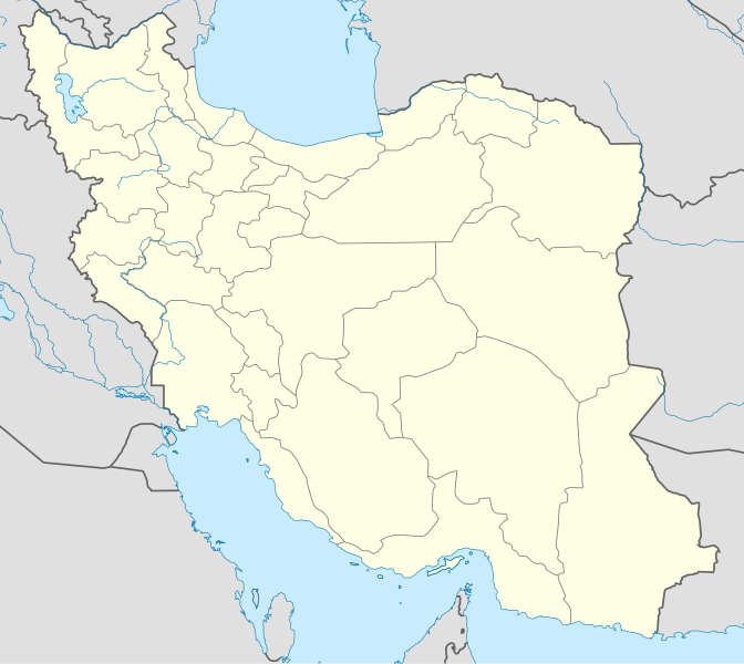
English: Location map of Iran.
Equirectangular projection. Stretched by 118.0%. Geographic limits of the map: * N: 40.0° N * S: 24.5° N * W: 43.5° E * E: 64.0° EMade with Natural Earth. Free vector and raster map data @ naturalearthdata.com. |
| Sene | |
| Çeşme | Öz işi (eseri) |
| Awtor | Uwe Dedering |
| Beýleki wersiýalar |
Derivative works of this file:
|
| SVG genesis | This W3C-invalid map was created with Adobe Illustrator, and with Inkscape. |

Lisenzirleme
I, the copyright holder of this work, hereby publish it under the following licenses:
Bu faýl Creative Commons Attribution-Share Alike 3.0 Unported lisenziýasyna laýyklykda lisenzirlenendir.
- Siz erkin:
- paýlaşyň – iş göçüriň, paýlaň we gowşuryň
- goşuşdyryp dörediň – iş adaptirläň
- Aşakdaky şertlere laýyklykda:
- salgylanma – Esere awtor ýa-da lisenziýa eýesi tarapyndan görkezilen (ýöne sizi ýa-da eseri ulanmaklygyňyzy goldaýandyklaryny öňe sürmeýän) görnüşde salgylanmalydyr.
- meňzeş paýlaşma – Bu eseri üýtgeden, öwüren ýa-da bu esere esaslanýan başga bir eser döreden ýagdaýyňyzda, emele gelen eser üçin diňe şu ýa-da şuňa meňzeş lisenziýany ulanmak arkaly paýlap bilersiňiz.

|
Permission is granted to copy, distribute and/or modify this document under the terms of the GNU Free Documentation License, Version 1.2 or any later version published by the Free Software Foundation; with no Invariant Sections, no Front-Cover Texts, and no Back-Cover Texts. A copy of the license is included in the section entitled GNU Free Documentation License. |
Islän lisenziýaňyzy saýlap bilersiňiz.
Faýlyň taryhy
Faýlyň geçmişini görmek üçin Sene/Wagt bölümündäki senelere tyklaň.
| Sene/Wagt | Miniatýura | Ölçegler | Ulanyjy | Teswir | |
|---|---|---|---|---|---|
| häzirki | 07:59, 22 oktýabr 2013 | | 1 200 × 1 071 (299 KB) | NordNordWest | Reverted to version as of 17:55, 15 April 2013; no reason for change given |
| 13:44, 21 oktýabr 2013 |  | 1 200 × 1 071 (640 KB) | Ekivalan | Reverted to version as of 17:38, 12 April 2013 | |
| 13:43, 21 oktýabr 2013 |  | 1 200 × 1 071 (640 KB) | Ekivalan | Reverted to version as of 17:38, 12 April 2013 | |
| 17:55, 15 aprel 2013 |  | 1 200 × 1 071 (299 KB) | NordNordWest | according to http://images.persianblog.ir/516041_B0b76ypr.jpg + Tabas -> South Khorasan province | |
| 17:40, 12 aprel 2013 |  | 1 200 × 1 071 (640 KB) | Yamaha5 | Reverted to version as of 20:08, 11 July 2010 | |
| 17:38, 12 aprel 2013 |  | 1 200 × 1 071 (640 KB) | Yamaha5 | Reverted to version as of 20:08, 11 July 2010 in all maps khorasan is like past! | |
| 11:30, 17 mart 2013 |  | 1 200 × 1 071 (294 KB) | NordNordWest | upd | |
| 20:08, 11 iýul 2010 |  | 1 200 × 1 071 (640 KB) | Uwe Dedering | 31. province Alborz | |
| 17:44, 18 fewral 2010 |  | 1 200 × 1 071 (705 KB) | Uwe Dedering | Bahrain above water, no disputed countries | |
| 13:00, 18 fewral 2010 |  | 1 200 × 1 071 (709 KB) | Uwe Dedering | {{Information |Description={{en|1=Location map of Iran. Equirectangular projection. Strechted by 118.0%. Geographic limits of the map: * N: 40.0° N * S: 24.5° N * W: 43.5° E * E: 64.0° E Made with Natural Earth. Free vector and raster map data @ |
Faýlyň ulanylyşy
Bu faýla çykgydy bar bolan sahypa:
Global faýl ulanyşy
Bu faýl aşakdaky beýleki wikiler tarapyndan ulanylýar:
- af.wikipedia.org sahypasynda ulanyş
- als.wikipedia.org sahypasynda ulanyş
- an.wikipedia.org sahypasynda ulanyş
- ar.wikipedia.org sahypasynda ulanyş
- محمد بن إسماعيل البخاري
- طهران
- صحيح مسلم
- محافظات إيران
- فخر الدين الرازي
- كأس آسيا 1968
- كأس آسيا 1976
- مسلم بن الحجاج
- قالب:خريطة مواقع إیران
- مشهد
- زلزال بم 2003
- تفجيرات زاهدان 2010
- زلزال طبس 1978
- بطولة آسيا للناشئين تحت 16 عاما 2012
- قائمة المفكرين المسيحيين في العلم
- مرتضى الأنصاري
- زلزال تبريز 2012
- شعيطة (رامشير)
Bu faýlyň global ulanyşyny görkez.